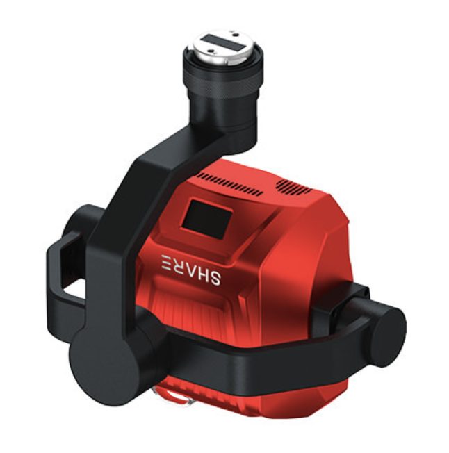
STABILISED 3-AXIS GIMBAL
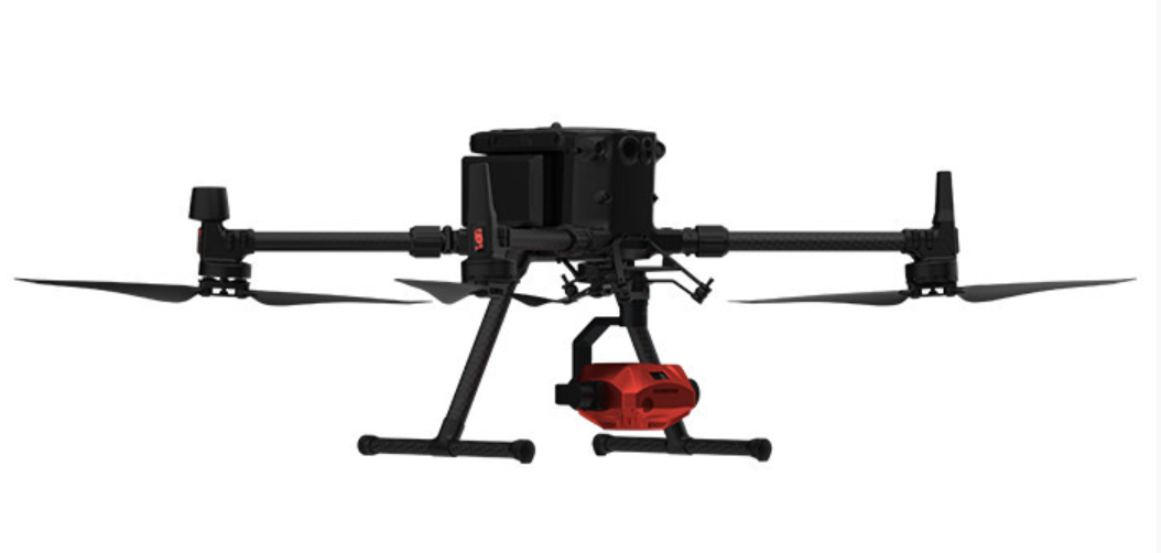
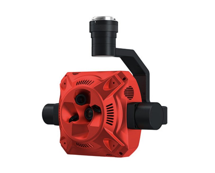
The intelligent 3-axis gimbal ensures that the camera remains stable during important missions, effectively eliminating any distortion caused by camera shake. With 180° rotation capabilities, data can be captured from any angle, enabling facade photogrammetry and breaking through the traditional limitations of data capture angles.
SELF-DESIGNED MAPPING CAMERA SENSOR
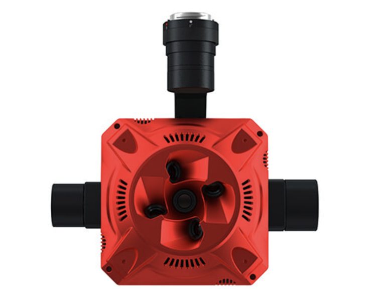
The PSDK 102S V3 surveying camera features the SHARE self-designed S-OPG Mapping Sensor, which integrates data imaging, parameter settings, POS data writing, and dynamic image transmission. Along with the self-designed S-ML mapping lens, which supports a short focus distance of 12m, the camera is highly adaptable to a variety of environments and use cases.
A VERSATILE AND RELIABLE ALL-ROUNDER
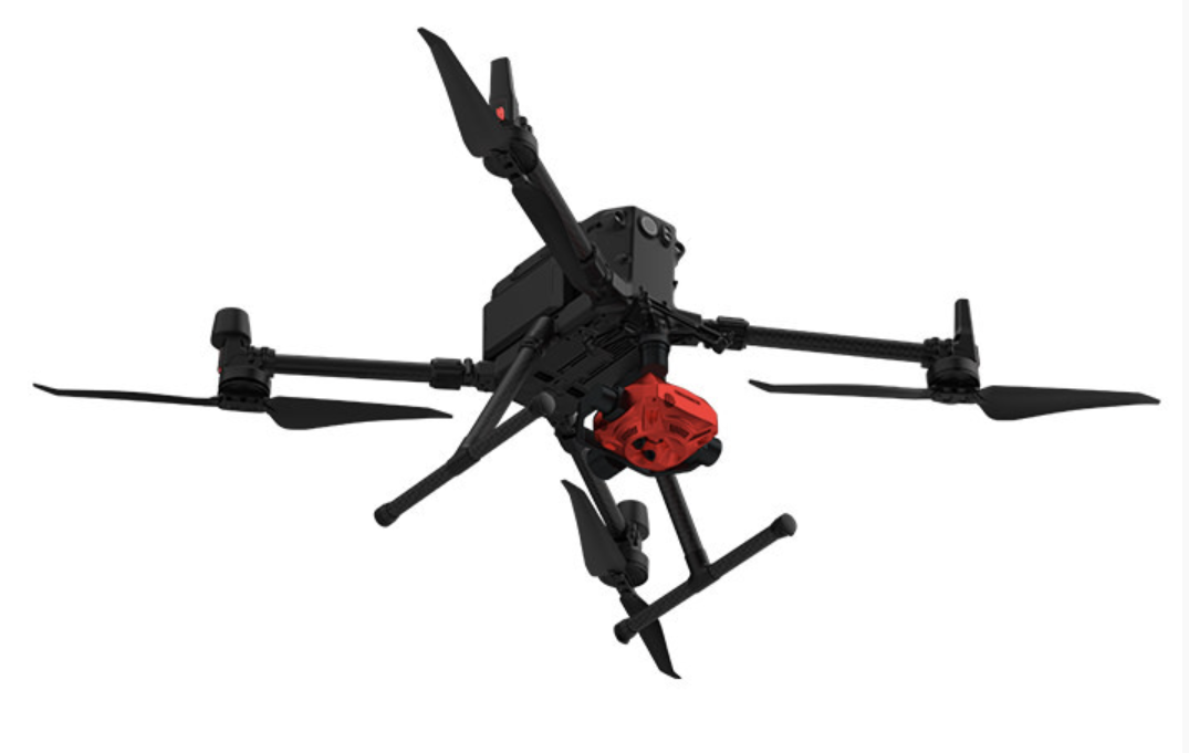
As a DJI Enterprise partner, Share UAV have developed a range of solutions that work seamlessly with the DJI M300. Surveyors can use this combination to carry out missions in various applications, including micro-photogrammetry, terrain-following mapping, and 2D & 3D mapping.
INSTANT POS DATA WRITING IN CAPTURED IMAGES
The TimeSync 2.0 algorithm ensures that the camera aligns with the drone’s POS data at a microsecond level. Surveyors can save time on POS processing after the mission, without worrying about data accuracy.
APPLICATIONS
3D Mapping – City 3D mapping; Urban planning; 3D gamin-scene building; Large-scale cadastral surveying
Close-Proximity Surveying – As-built surveys; Digital archeology and preservation of cultural heritage; Property digitalisation
Terrain Following Surveying – Mountain topo surveying; high-drop terrain surveying, natural resources management


