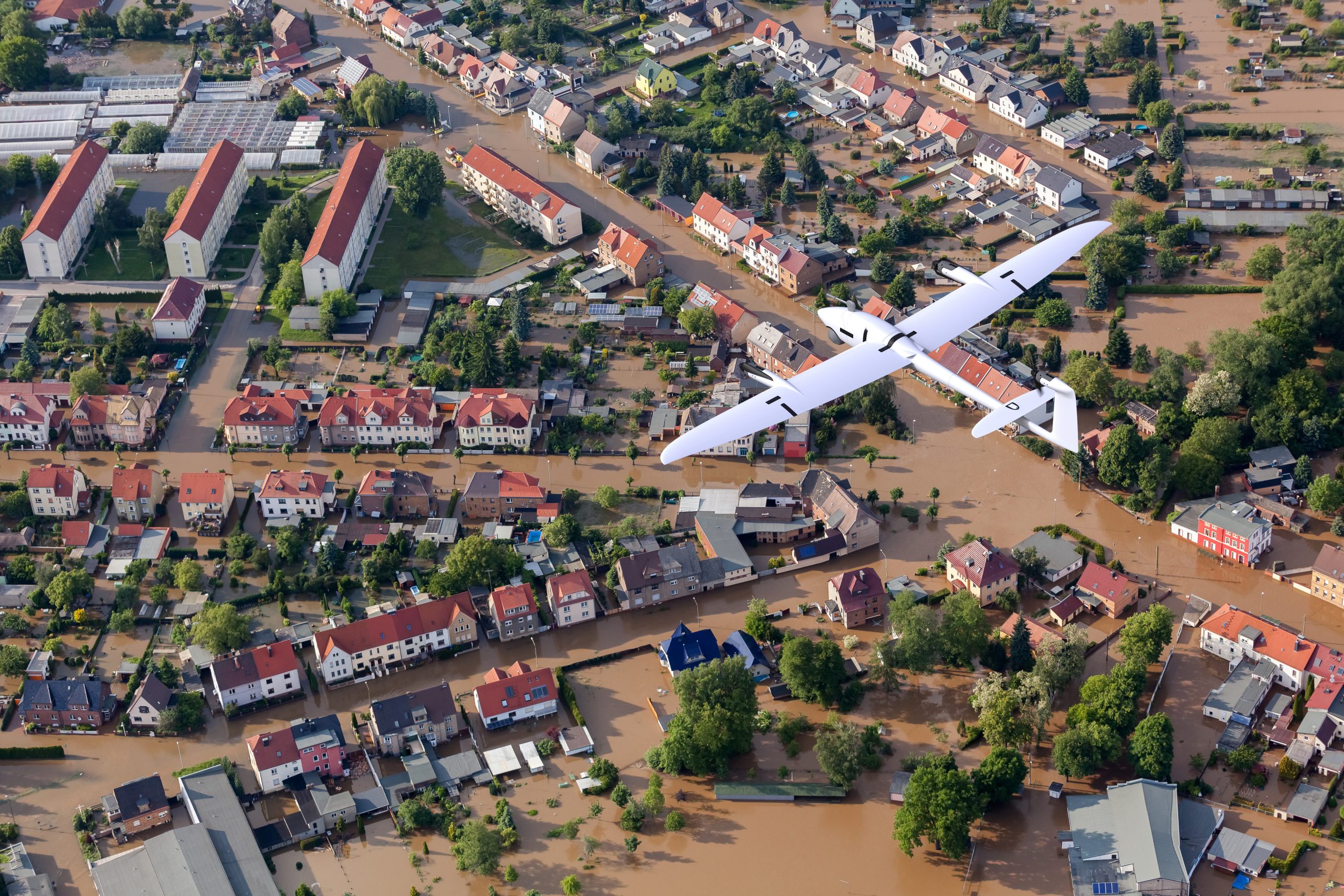
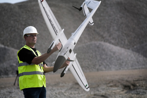
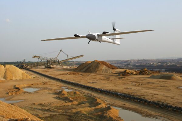
TRINITY F90+ eVTOL. Fixed-wing. Mapping UAS.
Starting with the first version of the Trinity in 2016 and this provided the basis for a highly efficient and at
the same time affordable VTOL UAS without compromising on features. The Trinity F90+ leverages this
platform and improves many aspects to offer professional users even more functionality at an unbeatable
price.
The perfect weight balance keeps the rear rotor, which is solely used for the cruise flight during the mission,
in the ideal thrust-to-size ratio in both VTOL and forward flight modes. The Trinity F90+ uses less
energy, achieves longer flight times and thereby shows its outstanding value compared to other drones.
Our Trinity F90+, due to its refined aerodynamics, reaches a flight time to 90 minutes. This makes it the
system of choice for the broad variety of mapping and surveying applications. Flying large areas (700 ha
/ 1730 acres) or long distances (100 km / 62 miles) per flight is easy with this efficiently working transition
aircraft.
In order to collect aerial data to make better decisions we support our customers’ missions by the continuous
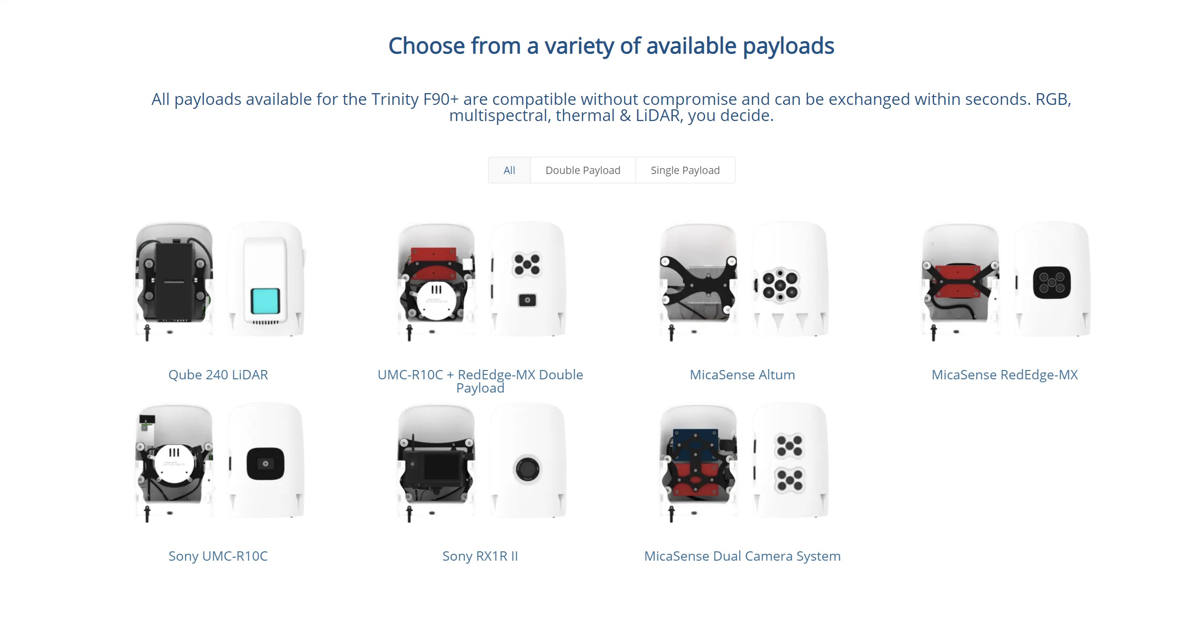
integration of high precision sensors into our drones. This gives our customers the flexibility to
choose the payload that perfectly fits their daily needs.
FEATURES
90+ minutes flight time
High precision sensors
PPK including Quantum-System iBase ground reference Station
Best-in-class sensors including dual RGB & Multispectral payload and 42 MP HighRes RGB
Powerful motors for even more reserves in all situations
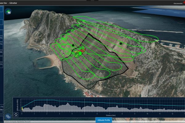
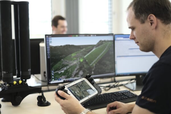
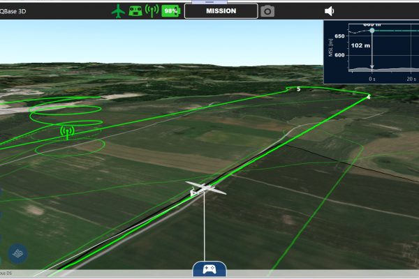
Live Air Traffic (ADS-B IN) incl. QBase 3D Mission Planning
2.4 Ghz telemetry with up to 7 km command & control and optional ADS-B OUT Mode-S Transponder


