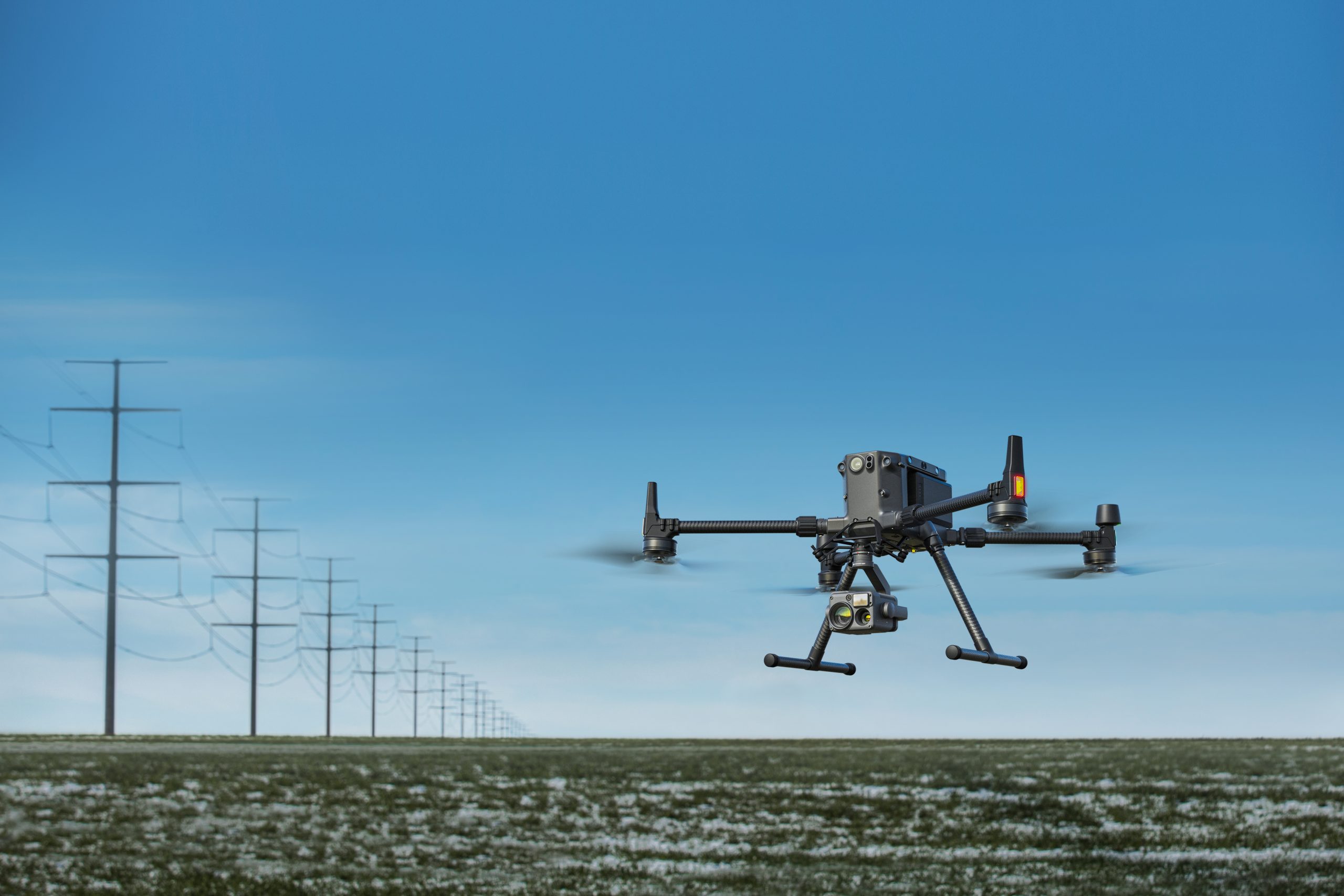
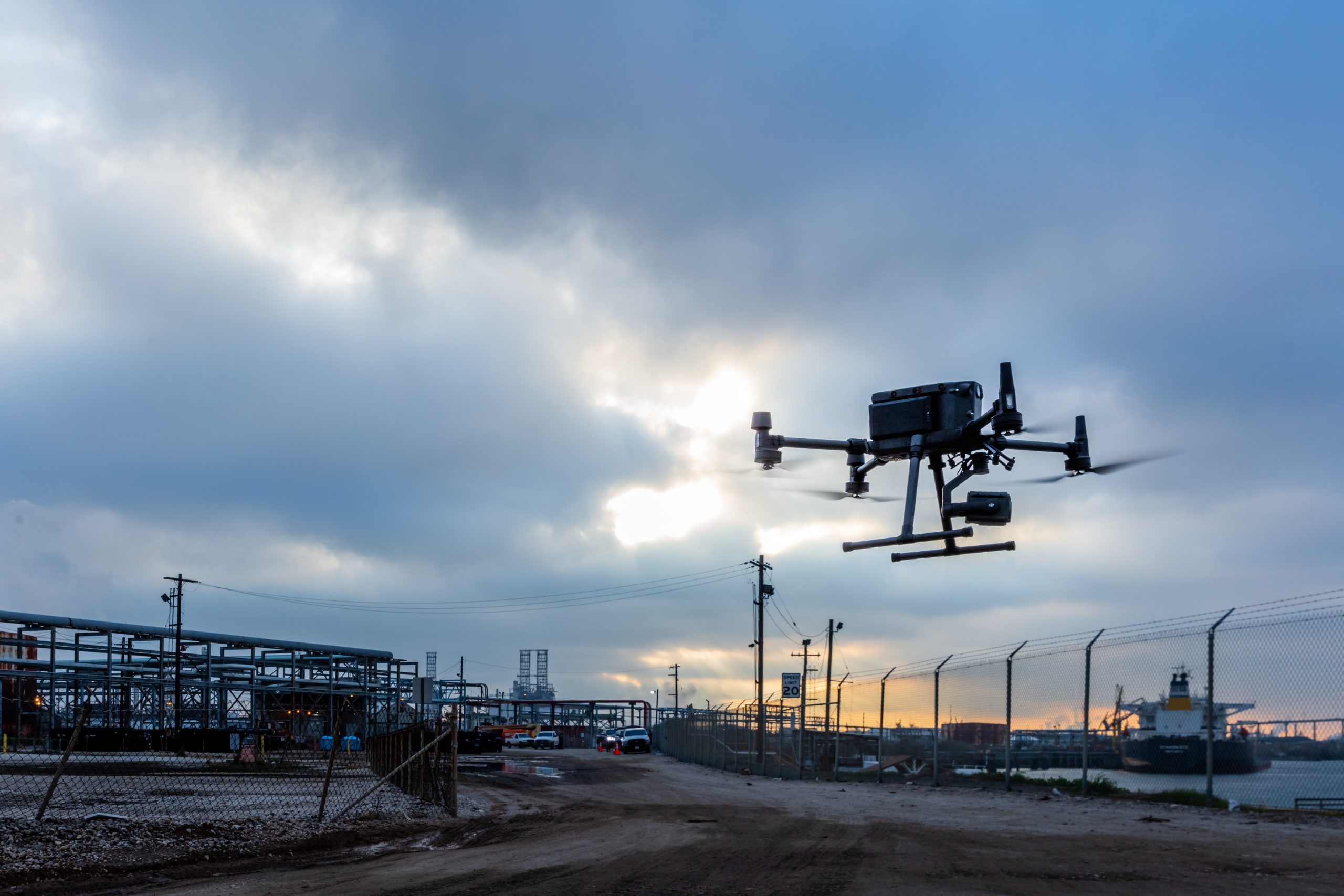
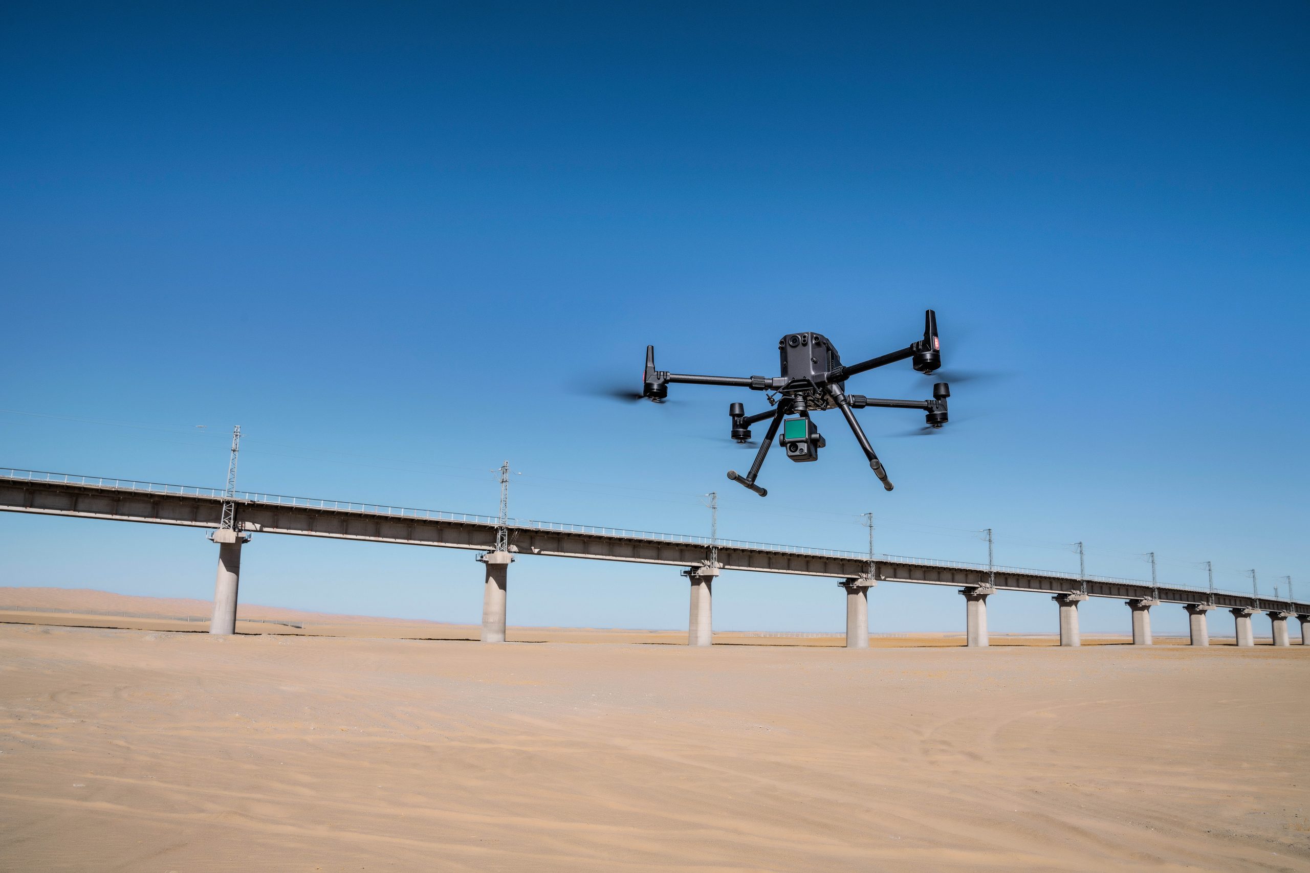
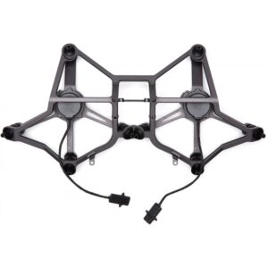
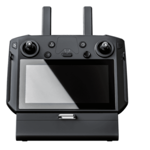
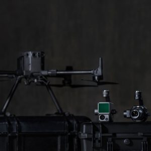
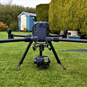
The DJI Matrice 300 RTK offers you flexibility and technology. See all the different aspects of this drone.
Improved Transmission System
The all-new OcuSync Enterprise enables transmission up to 15 km away and supports triple-channel3 1080p video. Real-time auto-switching between 2.4 GHz and 5.8 GHz4 enables more reliable flight near high-interference environments, while AES-256 encryption offers secure data transmission.
- 15 km Transmission Range
- 1080 p Triple-channel Video
- 2.4/5.8 GHz Real-time Auto-switching
Enhanced Flight Performance
The refined airframe and propulsion system design gives you a more efficient and stable flight, even in harsh conditions.
- 55 min Max Flight Time
- 7 m/s Max Descend Speed
- 23 m/s Max Speed
- 7000 m Service Ceiling
- 15 m/s Wind Resistance
Multiple Payload Configurations
Configure your M300 RTK to fit your mission needs. Mount up to 3 payloads simultaneously, with a maximum payload capacity of 2.7 kg.
- Single Downward Gimbal
- Dual Downward Gimbals
Smart Inspection
Live Mission Recording- Record mission actions such as aircraft movement, gimbal orientation, photo shooting, and zoom level to create sample mission files for future automated inspections.
AI Spot- Automate routine inspections and capture consistent results every time. Onboard AI recognizes the subject of interest and identifies it in subsequent automated missions to ensure consistent framing.
Waypoints 2.0-Create up to 65,535 waypoints and set multiple actions for one or more payloads, including 3rd party ones, at each waypoint. Flightpath planning is also optimized to maximize flexibility and efficiency for your missions.
Aviation-Grade Situational Awareness
The M300 RTK adopts a new Primary Flight Display (PFD) that integrates flight, navigation, and obstacle information to empower the pilot with exceptional situational awareness.
Flight Information- Flight information such as aircraft attitude, altitude, and velocity, as well as wind speed and wind direction, are all intuitively presented.
Navigation Display – Pilots can also view the live status of the aircraft’s heading, trajectory, PinPoint information, and home point projection, in a more efficient way. Visualize all nearby obstacles at once with the new obstacle map, so you can be fully informed.
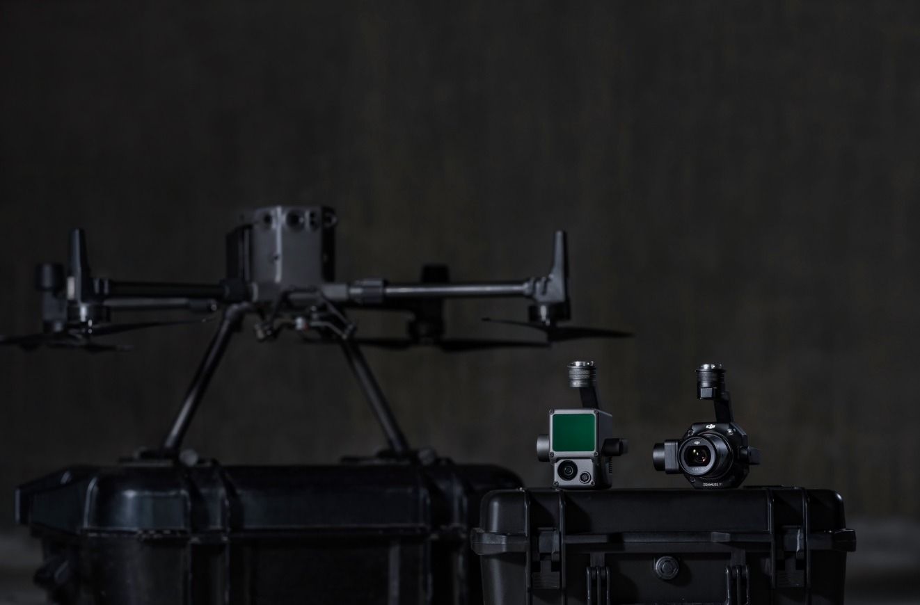
Possible payloads from Zenmuse:
Photogrammetry – Zenmuse P1
Lidar – Zenmuse L1


